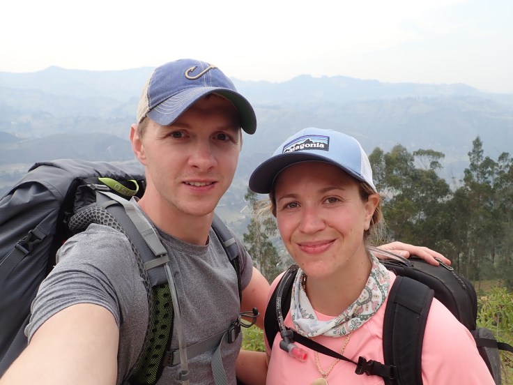
I’ll tell you now – the 3 day hike called the “Quilotoa Loop” in the Andes in Ecuador was g*ddamn HARD. Arnie and I found it particularly difficult for a number of reasons – but primarily because we had no map and basically 0 clue what we were doing.
Anyway, here’s the tale of our adventure, complete with some pictures, and a few funny stories that are only funny now in retrospect 🙂
Day 1: Hiking from Sigchos to Isínlivi

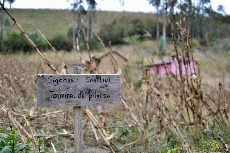
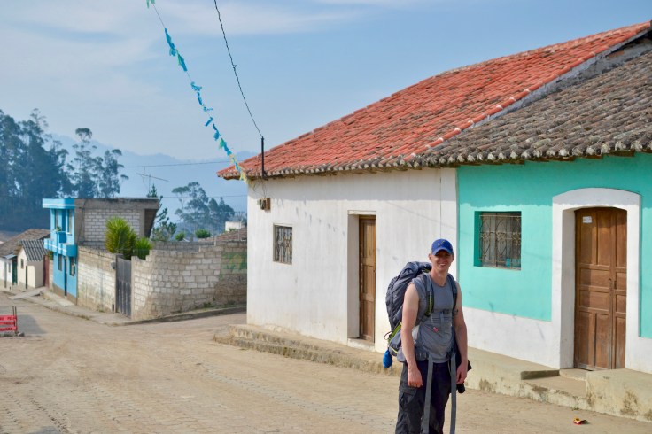
Our day started off getting dropped off in the tiny village of Sigchos. Our first calling point was the Sigchos Tourist Office, since we had no map, no idea where to go nor a clue what the day would entail. To our lovely surprise, the Tourist Office was abandoned, and all the plants inside looked like they hadn’t seen water or care in at least 2 months.
So what did we do? We wandered around and
spoke in broken Spanish to try to figure out where we needed to go. It was easy to ask for directions. It was NOT easy to understand what the heck they actually said back to us. This carried on for at least 3 attempts before an old man took pity on us, walked us outside, and very slowly shoved & pointed us in the right direction. After his useful push, we found the entrance (90 minutes after getting off the bus)!
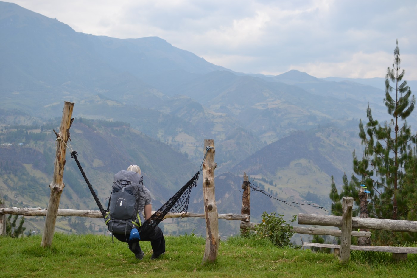
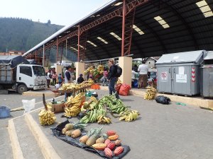
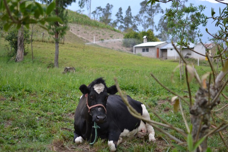
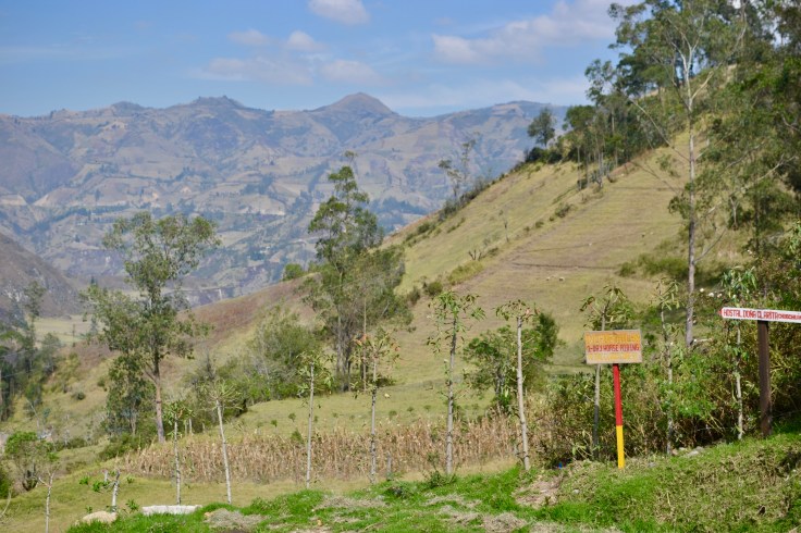
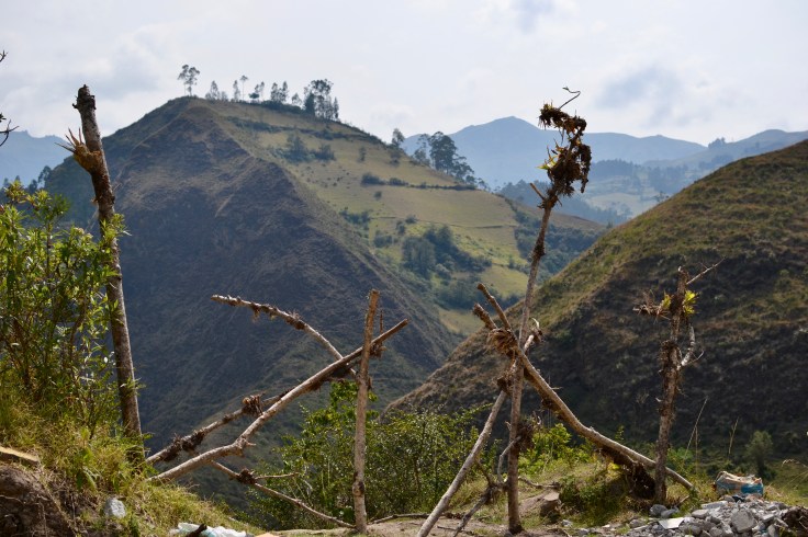
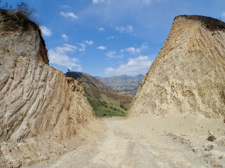
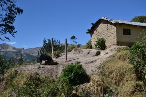
Some additional pics from Sigchos:


 Once we were on the trail, everything was a little bit better… except for the times we’d reach a crossroads or a fork in the trail and there was no indication of the correct way to go. Luckily Arnie & I had gotten on the trail very early (even in spite of us taking forever to find the start) and usually we only had to wait about 5 minutes until someone else came along and knew the direction to go from the MapsMe app on their phone. Apparently everyone knew this was the thing to have – except for us of course.
The trail was really nice-going, until it was horrible. These two indigenous farmers pointed us up to the next part of the path, through one of their cowpaths, and straight up the side of this mountain. It was an hour of vertical climbing. I will also add that I stopped to use nature’s potty on the side of the trail/climb and a grumpy British dude totally saw my butt while I frantically tried to pull up my pants.
After the climb, it was a nice walk into the town where we stayed the night.
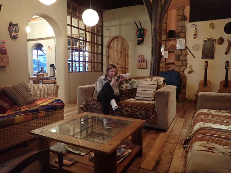
The hostel we stayed in was called Llullu Llama and was the best hostel we’ve ever been to. It had a jacuzzi, sauna, steam room, delicious meals and cozy fireplaces. AND the key to our room was a llama!!
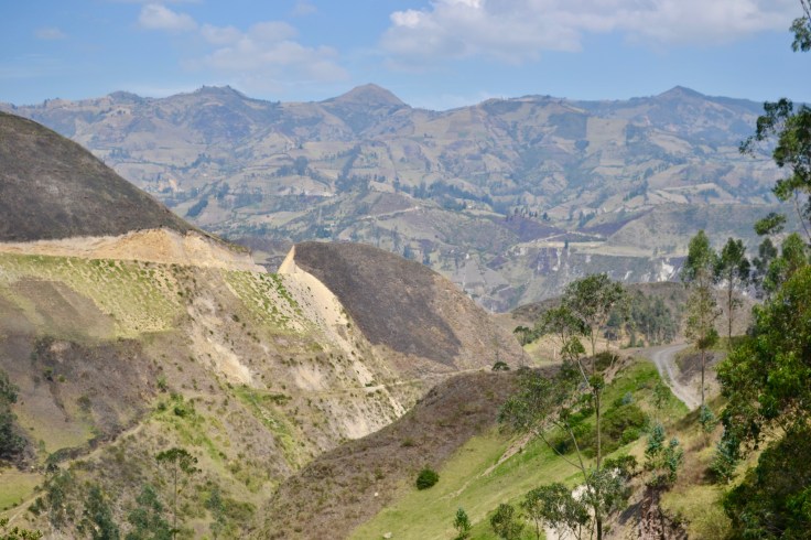
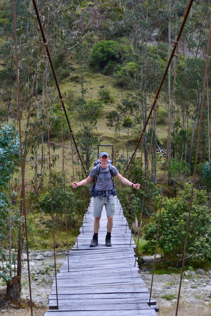
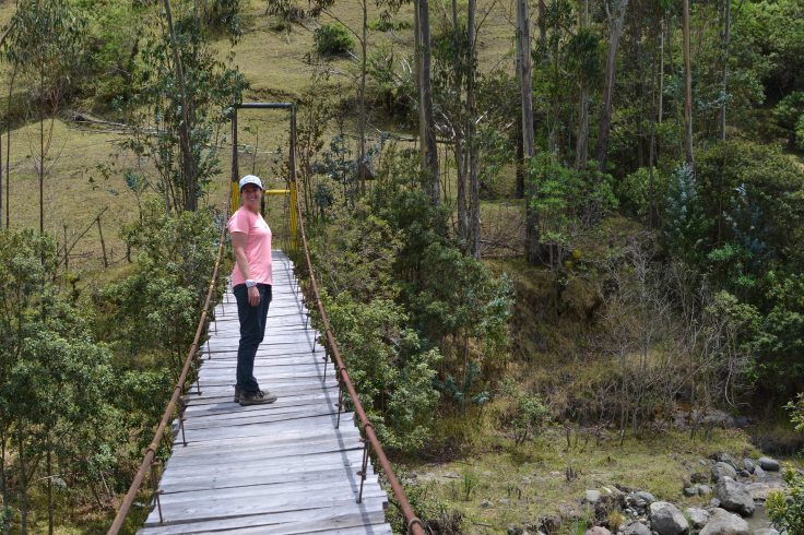
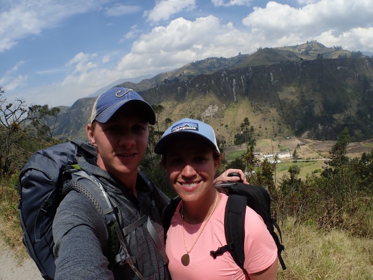
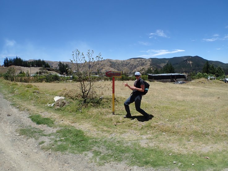
Here are some additional pics from the first day:


Day 2: Hiking from Isínlivi to Chugchilan
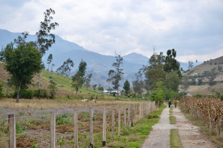
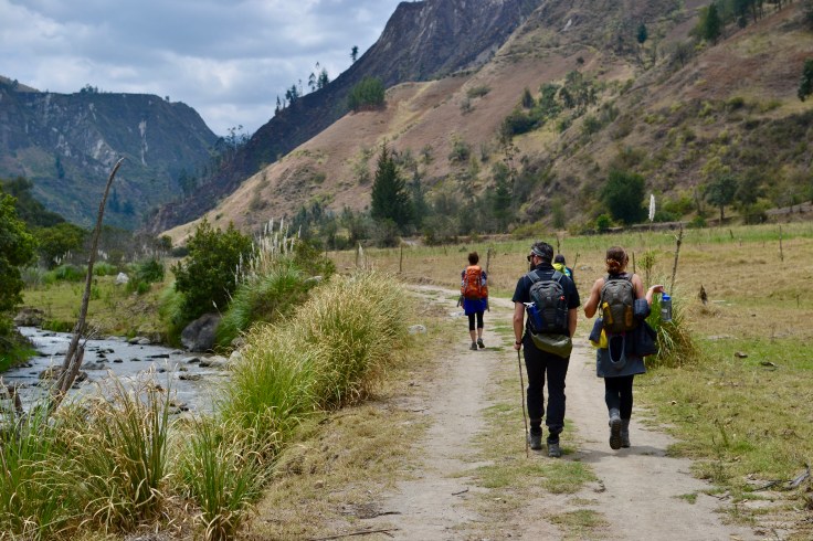
Our second day of hiking was pretty drama free (thankfully)! We walked with a group of people for the first portion of the day, which was fun & really helpful for navigation. The trails were also marked MUCH better, and our hostel gave us a map with written directions. So from the start, our situation had vastly improved.
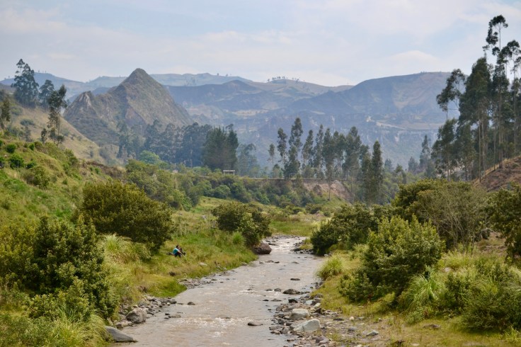
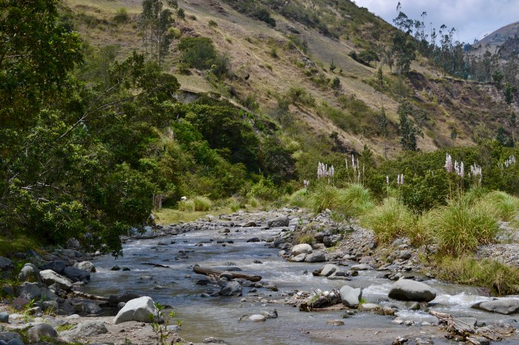
Throughout the day we passed & crossed a beautiful river, then a small little town. The dogs in this town were after my lunch, but seeing as they were so cute and skinny, I gave them some of my sandwich. How could I not!?
Upon reaching the Cloud Forest Hostel, we were tired and a bit sore, and definitely ready for a giant beer. We met some really nice people and had dinner that wasn’t too shabby. All & all – it was a successful day!
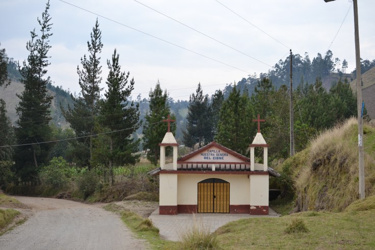
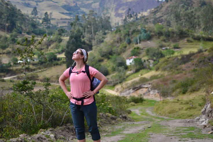
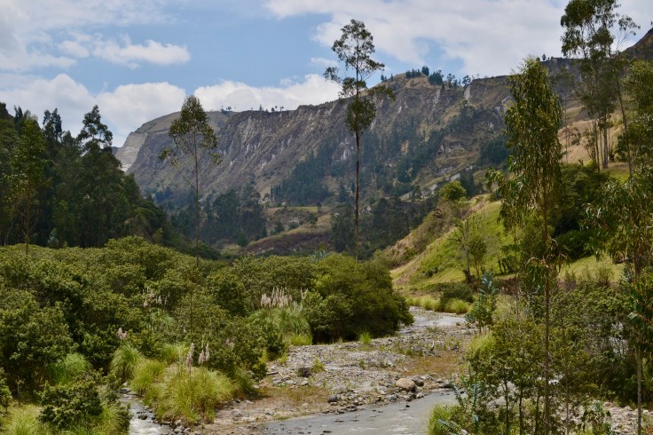
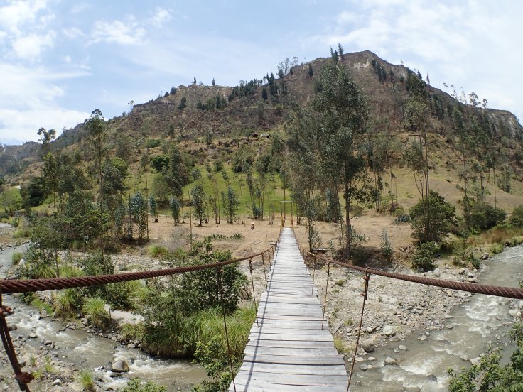
Here are some of my favourite shots from the day:


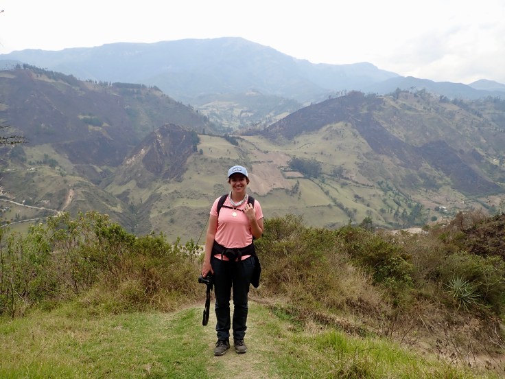
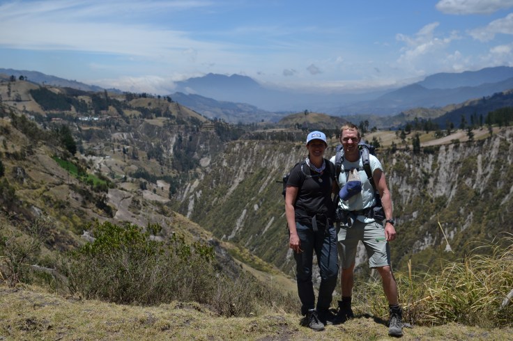
Day 3: Hiking from Chugchilan to Quilotoa
 Now day 3 came along, and we were starting to feel pretty tired & sore before even leaving the hostel. Day 3 was the hardest day, at the highest altitude, with the greatest overall ascent of the 3 days. We actually ascended more in the third day than we did in the two previous days combined.

We started a bit later than usual, and took our time taking goofy pictures and wandering aimlessly on the easy parts. Our procrastination was greatly regretted later when we actually had really long, arduous walking to do. I was feeling pretty rough due to the altitude, and was dizzy & nauseous most of the day. This combined with the difficult climbing and scorching heat meant we were walking slooooooowwww.
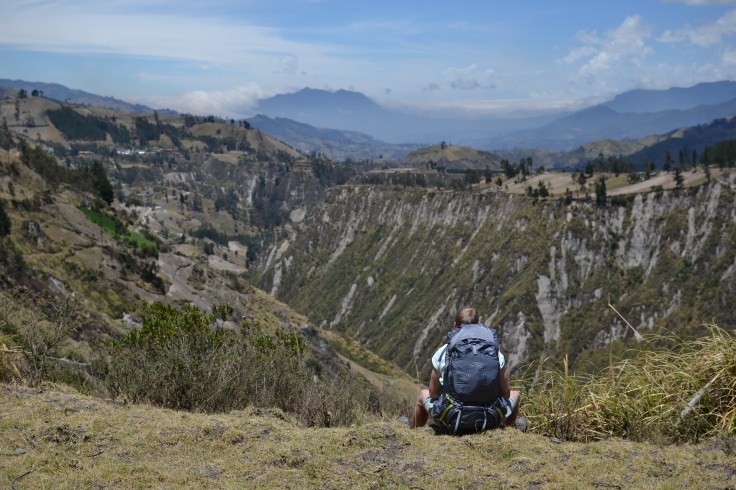
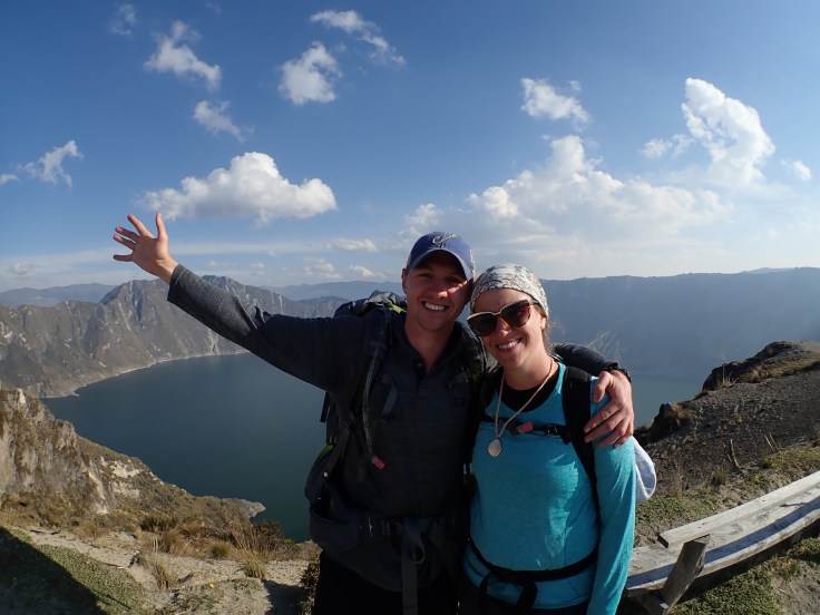
The culmination of the 3 days of hiking was reaching the crater lake on top of the extinct Quilotoa volcano. After reaching the crater, it was supposedly an easy walk around the crater rim to the town of Quilotoa.
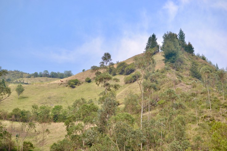
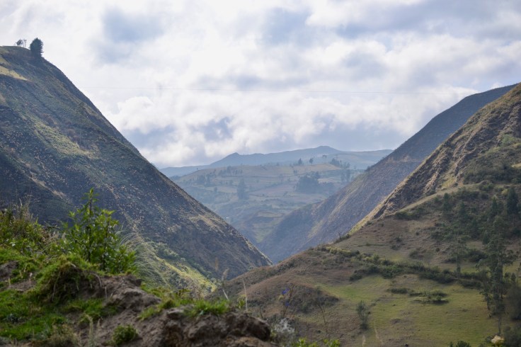
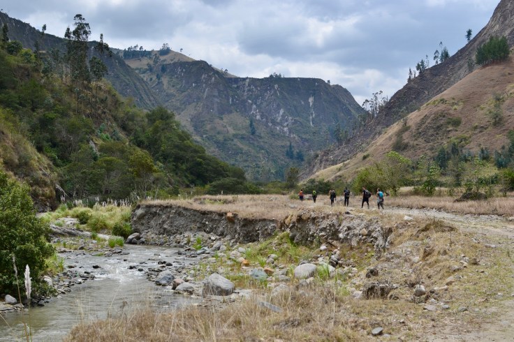
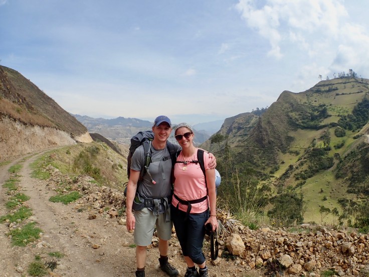
Some views from the hike:


We finally reached the crater around 5pm, which is about 1 hour before the sun sets. We were going to make it before nightfall if we really stepped on it.
Once we reached the crater, my adrenaline kicked in and I took off on the marked path. We were powering through this trail, and I was pumped for getting to the town before sun down.
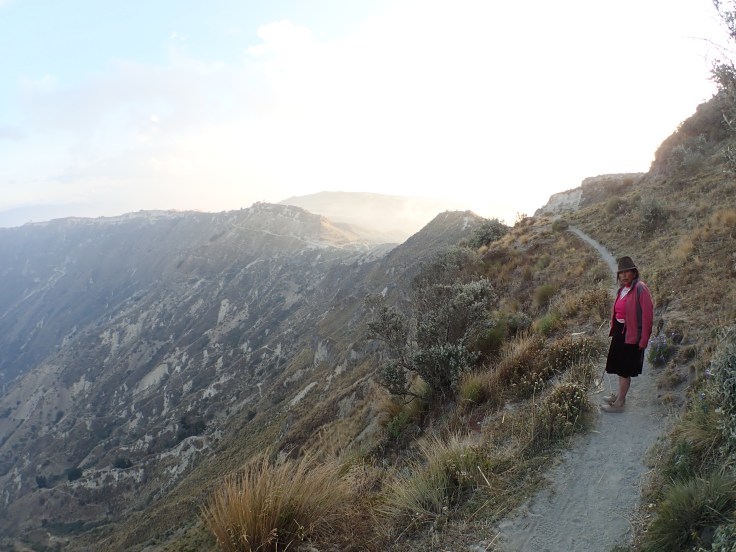
About 15 minutes in, and a small descent, we passed a machete and a violent looking hoe on the ground ahead of this small Andean mountain farm dwelling. There was a really creepy scarecrow, and the markings of the trail on a contorted dead branch protruding from the ground in the middle of the path. The paths from this point on were small and didn’t look quite right; this was the point where Maria, a small indigenous woman, came out of her dwelling and offered us some help.
We were skeptical, but we were also desperate, and took her offer of help with the knowledge that she’d expect compensation.
Maria then led us up the side of the mountain on a non-existent locals-only path. Her small body zigzagged up the side of the mountain, and her tiny feet moved her along like a mountain goat. We saw a more robust path to the right, and we tried to convince her we were going to go that way. She was trying to persuade us that we were gravely wrong, and her assertions proved true when a vicious guard dog sprinted out from the path with violent barks and growls.
Pictures we sneakily took with Maria:

Maria reacted to this by making a really weird, creepy hissing noise, and by throwing rocks and sticks at the dog. Our companion Andrew was nearly attacked, but we made it away from the path unscathed. We listened and followed Maria a bit more attentively from here on out.
Finally we reached (again) the top of the crater rim, and the path we were supposed to take to our final destination was clearly visible in front of us. Maria wanted $20 for her assistance, and though we greatly appreciated her help, this was a bit bonkers. I was also convinced she planted incorrect trail markers to lead us to her abode & force her help upon us. We gave her $10 and a hug, and we were on our way!
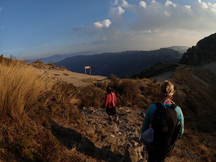
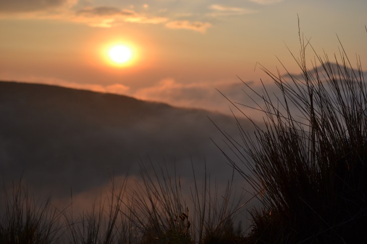
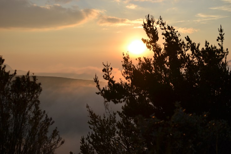
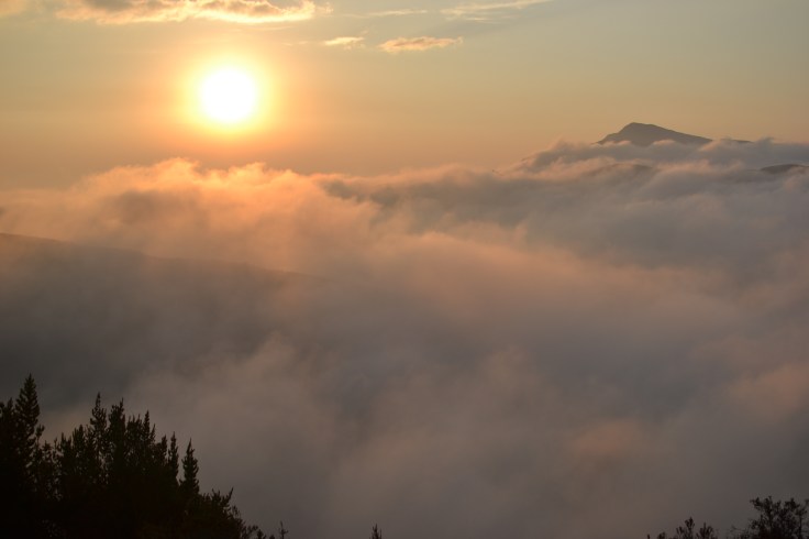
The pictures at this point of the night were the silver lining, as no one else (in their right minds) was out on the crater rim at sunset. The view was gorgeous, and despite the trials and tribulations from the day, I was so pleased we got to see this in our final moments of the hike.
Sunset views above the clouds:


We reached the town of Quilotoa as the brightness of twilight subsided, which would have been *perfect* if our hotel was actually in the town of Quilotoa. But noooooo, I had the smart idea of booking a hotel 30 minutes further along the crater rim, in a mountain lodge in the middle of nowhere, run by a local indigenous family.
We wandered through the darkness of night along the crater, and nearly had a heart attack when a while llama came out of nowhere and crossed the trail in front of us. Our hotel had no signs, and we had to guess using the really crappy google maps location finder thing on Arnie’s phone (which doesn’t work very well in the vast nothingness where we were walking).
Eventually we arrived, and sat down to a dinner that consisted of 80g of chicken and some french fries (basically nothing). The hotel was also run by a bunch of kids, and while I was glad we had found our room, I wasn’t a big fan of the apparent child labor taking place. We got to our cabin, which was filled with spiders, and had no running water. After convincing the child the water wasn’t working (she didn’t believe me), we got it fixed, took showers, killed spiders (sorry) and fell asleep.
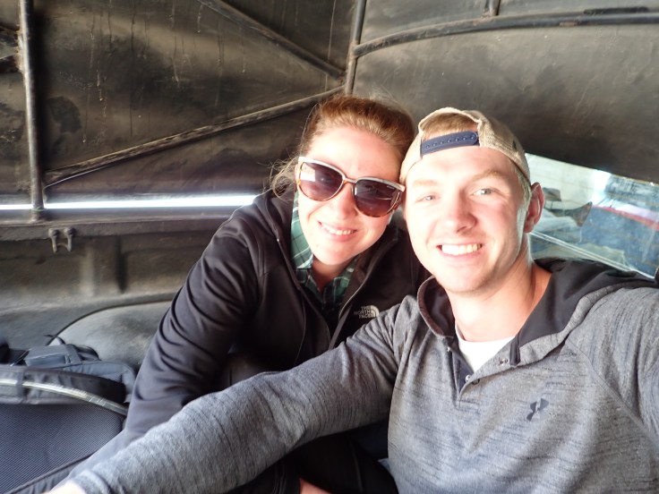
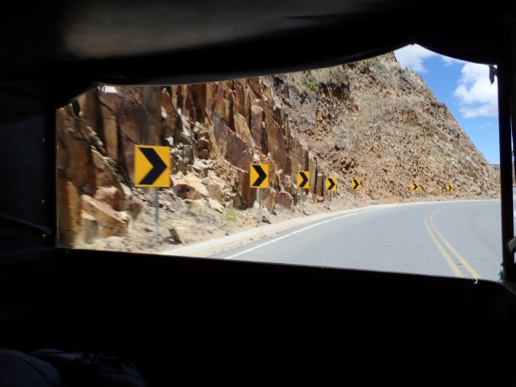
Our trip the next morning away from Quilotoa was equally adventurous, as the 2 hour “bus” we were supposed to take actually ended up being the back of a pickup truck.
At this we could only laugh and enjoy the views; we had our first “real” adventure, and our sore, tired bodies were happy to be on the way to Baños to relax 🙂
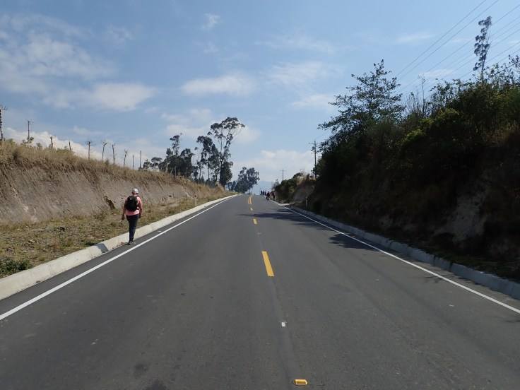
Here are some final pictures of the Quilotoa Loop (and our awesome bus ride):


Leave a comment